

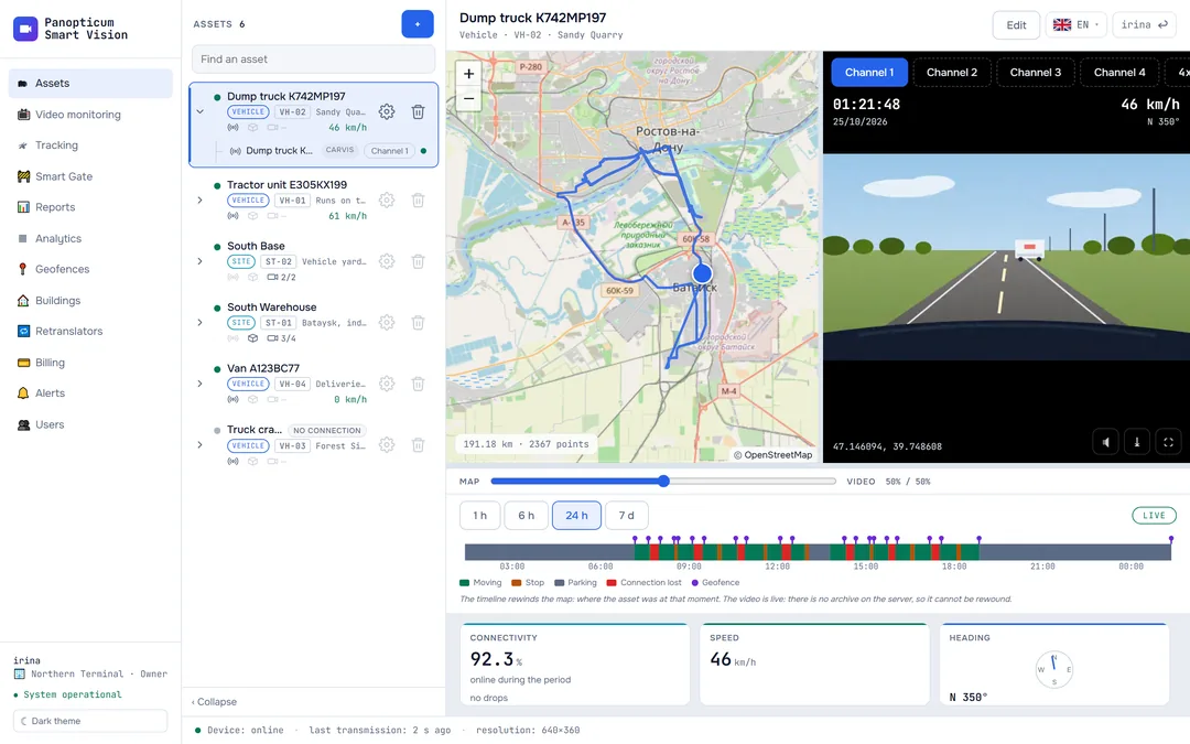
WIM stations are automatic weigh-in-motion checkpoints: gantries over the highway that weigh a vehicle on the move and send a fine for overloading. The layer of stations on the Tracking map and the log of passages under them are there for disputing such a fine: they show whether the vehicle passed under the station, when and at what speed.
The station layer on the map
The scales button in the Tracking header turns the layer on and off; the choice is remembered in the browser. The stations are visible when the map is zoomed in to the scale of a region or closer: on a map of the whole country, hundreds of icons would cover the vehicles.

- Turn on the station layer
- Weigh-in-motion station
- Passage under a station: time and speed
- Clicking a station shows its name, road and kilometre.
- A station placed by a kilometre post says exactly that in its tooltip: the station is nearby, but not precisely at this point.
- When the selected vehicle’s track is shown, its passages under the stations are marked on it: time and speed.
Where the stations come from
There is no open directory of stations with coordinates in Russia: the register describes a station by road and kilometre. So the stations come from labelled objects on the OpenStreetMap map and from the register matched to kilometre posts, and the rest are placed by hand. A station without reliable coordinates is not shown on the map: a made-up point on a map looks just like a real one, and people would trust it.
The passage log
Every few minutes the server compares the vehicles’ fresh tracks with the stations. A passage counts if the track went within 150 metres of a station; the whole stretch of the path between points is checked, not just the points themselves, so a passage between two of the device’s fixes at speed is not lost. A vehicle simply standing near a station does not count as a passage.
- The time and place of a passage come from a real point of the device, not invented in the middle of a stretch.
- There are no alerts about passages: this is a log you turn to when a fine arrives, not an alarm.
- Passages are kept longer than tracks: a dispute over a fine can go on for months.
In the apps
Web
Everything described above.
Windows
The Windows app has no station layer: stations and passages are viewed in the web app.
Android
The station layer is turned on with a button on the Tracking map.
Telegram
The Telegram panel has no station layer.
If it did not work
- No stations are visible. Zoom in on the map: at a small scale the layer is hidden. Check that the layer is turned on.
- The station that sent the fine is not on the map. It does not have reliable coordinates yet. Write to us with the road and kilometre from the penalty notice, and we will place it.
- The passage is not in the log. The vehicle had no track at that time: look at the device’s connectivity history.
See also
Found a mistake, or didn’t find an answer? Write to us on Telegram or send us a request, and we will reply and fix the article.