

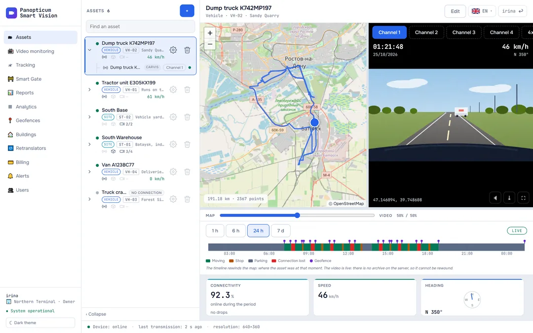
The track “broke off” at night. Yet the device did not lose a single message
The customer received a five-page analysis for the fine dispute.
Situation
A tractor unit on a regional road, July 2026. A fine arrived from a weigh-in-motion gantry, and at the hour in question the track on the map breaks off and draws loops where the vehicle could not have driven.
What we did
We separated what was reliable from what was distorted: time, odometer and ignition were fine, while the coordinates for that stretch had been spoofed. The missing section is shown as a separate estimated layer, dashed and labelled, not passed off as device readings.
Outcome
The customer received a five-page analysis: what the device really sent, where the coordinates are unreliable and how far the vehicle travelled by the odometer.
Sections used in this case
Tracking
GPS and GLONASS on the map. Carvis DVRs with up to 4 video channels, Navtelecom FLEX, Wialon IPS.
Learn moreWIM station
Weigh-in-motion gantries on the map and a log of passages under them for disputing fines.
Learn moreReports
13 tables and 7 charts: trips, parking, engine hours, violations, geofences. CSV export and printing to PDF.
Learn moreWe will show it on your equipment
Tell us about your task, and we will show Panopticum on your cameras and vehicles
Or start on your own: after sign-up you get 14 days of the “Business” plan free, no card needed.
- We reply during working hours, fastest on Telegram
- We will help you connect cameras and devices remotely
- Only you and your staff see your data
Request sent
We will reply during working hours. If it is urgent, message us on Telegram.