

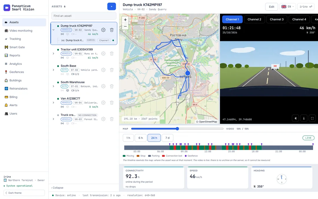
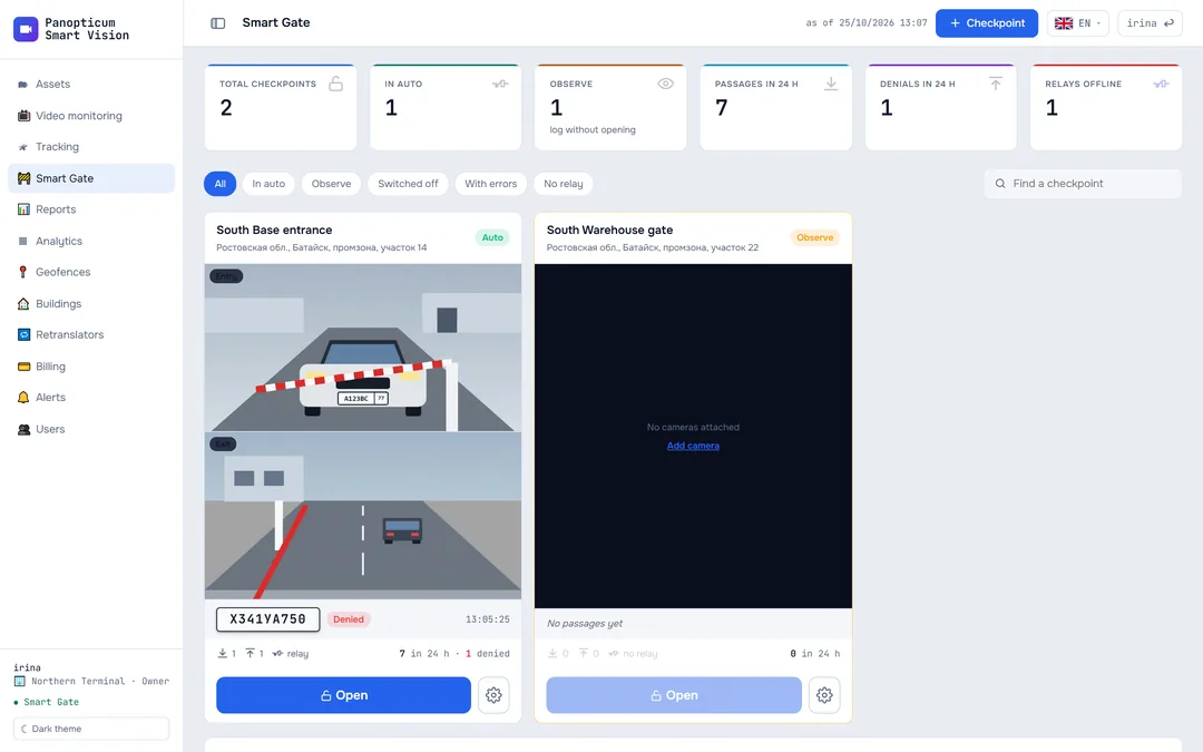
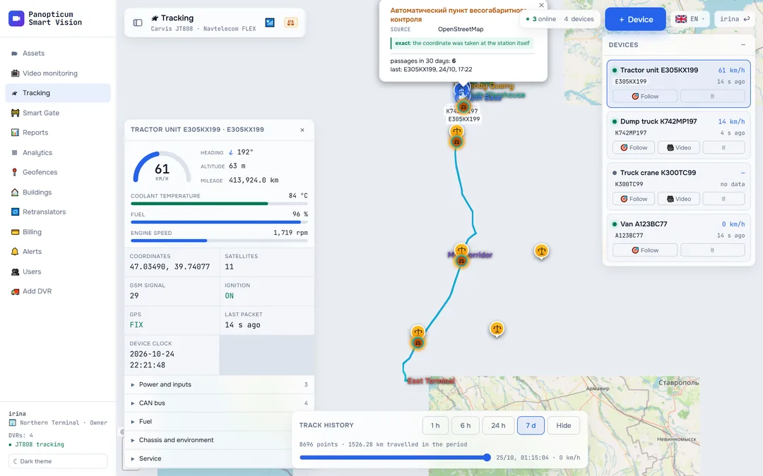
WIM gantries on the map and a log of passages under them
Automatic weigh-in-motion stations are marked on the tracking map. A vehicle passing under a gantry goes into the log with the time taken from the device. When a fine arrives, you already have the track and the time of the passage.
Features
Gantries on the map
One button on the tracking map turns the layer on.
Passage log
Which vehicle passed under a gantry and when.
The track next to the fine
The time and place of the passage, from your own device.
Verified locations only
The system does not guess where a gantry is if its exact coordinates are unknown.
The whole fleet at once
Passages are counted for every vehicle in the account.
Inside tracking
No separate program and no separate sign-in.
A passage is detected from a segment, not a point
A device reports its position every 5 or 10 seconds, and at speed a vehicle can slip past a gantry between two readings. So a passage is detected from a segment of the track, while the time and place come from a real point from the device.
Frequently asked questions
Where do the gantry coordinates come from?
Works together with
Axle load
Load on every axle in real time: overload, loading and unloading, linked to WIM gantries.
Learn moreTracking
GPS and GLONASS on the map. Carvis DVRs with up to 4 video channels, Navtelecom FLEX, Wialon IPS.
Learn moreReports
13 tables and 7 charts: trips, parking, engine hours, violations, geofences. CSV export and printing to PDF.
Learn moreWe will show it on your equipment
Tell us about your task, and we will show Panopticum on your cameras and vehicles
Or start on your own: after sign-up you get 14 days of the “Business” plan free, no card needed.
- We reply during working hours, fastest on Telegram
- We will help you connect cameras and devices remotely
- Only you and your staff see your data
Request sent
We will reply during working hours. If it is urgent, message us on Telegram.